
Post Category : Archaeonerdism Local Archaeology
More archaeological research in the Lesser Slave Lake region

By Kurtis Blaikie-Birkigt on March 2, 2016
From 1979 to 1990 Dr. Raymond Le Blanc conducted archaeological surveys and excavations in the Lesser Slave Lake region, first as a member of the Archaeological Survey of Alberta, and later with an archaeological field school with the University of Alberta. These projects are one of the largest archaeological bodies of work in Alberta’s boreal forest outside of the oilsands region. The Mercury paper published from them,
“Archaeological Research in the Lesser Slave Lake Region”, is one of very few monographs on northern Alberta prehistory.
Since 1990, nearly all archaeological research in the region has been conducted under Cultural Resource Management projects, primarily for the forestry sector. These projects have focused our interest away from the lakeshore into the uplands and hinterlands of the region. We have identified hundreds of new archaeological sites in these hinterlands, giving us new perspectives on land-use patterns and settlement systems, long-distance trade, and regional travel and trade networks.
I’m going to be sharing my thoughts on these sites at the 2016 Canadian Archaeological Assocation conference in Whitehorse Yukon this May, in a special session in Honour of my graduate supervisor, Dr. LeBlanc. I hope to see some of you there. If you can’t make it, watch this site for the full paper.
Related Posts

By Corey Cookson
October 17, 2023
International Archaeology Day
What is it? International Archaeology Day is a celebration of Archaeology and it’s contributions to society! International Archaeology Day annually falls on the third Saturday of October (October 21st), and was first celebrated in 2011. The day was originally designed on a national level to help promote public participation and awareness of the important contributions
Keep Reading
By Alyssa Hamza
August 10, 2023
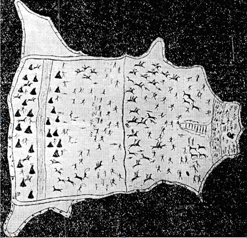
“The Last Great Battle”
Battle of Belly River, 1870 For International Indigenous Day, there are an unlimited number of topics that we could discuss. This year, since Lethbridge is my home and I’m interested in it’s history, I decided to write about “The Battle of the Belly River”, also called the “The Last Great Indian Battle”. One of the
Keep Reading
By Braedy Chapman
July 2, 2023
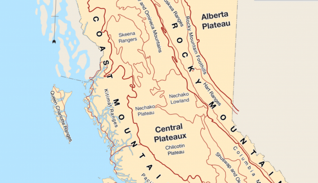
Top sites of 2022, BC edition
Field operations in British columbia 2022 marked Ember Archaeology’s first year of significant field operations in British Columbia. Our BC crews conducted a number of sizable wildfire-related projects for the BC Ministry of Forests over the course of the season, ultimately surveying hundreds of kilometers of constructed fireguards and fuel reduction developments. These were nearly
Keep Reading